
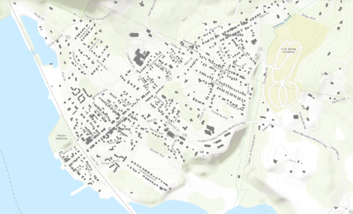
Using an analysis of satellite imagery compiled by Microsoft, ArcGIS Online created maps that show every building in the U.S. Here are samples for Beacon, Cold Spring and Garrison.
Beacon
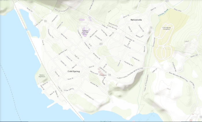
Cold Spring / Nelsonville
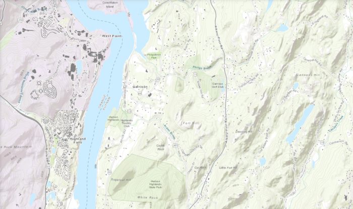
West Point and Garrison

Using an analysis of satellite imagery compiled by Microsoft, ArcGIS Online created maps that show every building in the U.S. Here are samples for Beacon, Cold Spring and Garrison.
Beacon
Cold Spring / Nelsonville
West Point and Garrison
Type: News
News: Based on facts, either observed and verified directly by the reporter, or reported and verified from knowledgeable sources.
Articles attributed to "staff" are written by the editor or a senior editor. This is typically because they are brief items based on a single source, such as a press release, or there are multiple contributors, such as a collection of photos.
More by StaffComments are closed.

I wonder how old that underlying satellite image is? The Cold Spring map still shows the old Butterfield Hospital, which was torn down about 5 years ago.
Microsoft says its building map was created in September 2018 but no indication of when the satellite imagery was done.